ArcGIS Desktop v9.3
ArcGIS provides a scalable framework for implementing GIS for a single user or many users on desktops, in servers, over the Web, and in the field. ArcGIS is an integrated family of GIS software products for building a complete GIS. It consists of several primary frameworks for deploying GIS:
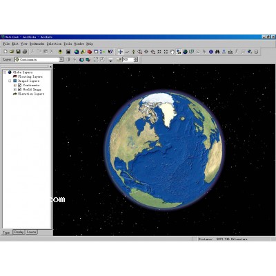
- ·ArcGIS Desktop—An integrated suite of professional GIS applications. Most users recognize this as three products: ArcView, ArcEditor, and ArcInfo.
- ·Server GIS—ArcIMS, ArcGIS Server, and ArcGIS Image Server.
- ·Mobile GIS—ArcPad and ArcGIS Mobile for field computing.
- ·Developer GIS—ArcGIS Engine plus software development kits for Desktop, Server, and Mobile that enable software developers to customize and extend the ArcGIS framework.
All four ArcGIS frameworks are based on ArcObjects, a common, modular library of reusable GIS software components.
ArcObjects includes a wide variety of programmable components, ranging from fine-grained objects—for example, individual geometry objects—to coarse-grained controls and tools, for example, a map control that allows you to quickly embed a map interface into your custom application for working with GIS map documents created in ArcGIS. These developer tools aggregate comprehensive GIS functionality for .NET, Java, C++, and Web developers.
|


 Print View
  Watch this Item
  Send this Auction to a Friend