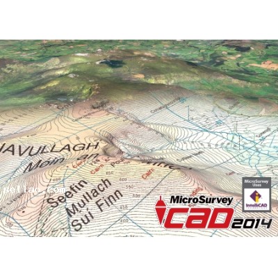
MicroSurvey is pleased to announce a major update to its flagship product line with the release of MicroSurvey CAD 2014.
MicroSurvey focused its development efforts on adding new functionality for geospatial data, imagery, coordinate systems and geodetic tools. Users can view combined scale factors and convergence angles at any point in their drawing or project database. MicroSurvey CAD 2014 now includes the Global Mapper v15 SDK providing support for over a hundred different elevation, imagery and vector formats. Also supported is the ability to connect to online spatial databases and online imagery providers. |


 Print View
  Watch this Item
  Send this Auction to a Friend